Category: Hike


Around Sihanoukville

Woke at 8:30 to leave at 9 for breakfast which was included in our day out boating and trekking for $20. We didn’t get to use the menu though (like we thought the day before when we booked it), just 2 eggs and a baguette (and a plate of bacon and fruit). Then a bus to where we got on the boat. The river we went down was Pre Toek Sap and we stopped at Ma Ou Ranger Station (I think) which would be a nice lookout if it was not raining. It was a fun building to go up because it was old and dangerous and the top floor had a hole from a fire which is stuck my legs though.

SE Asia 1660

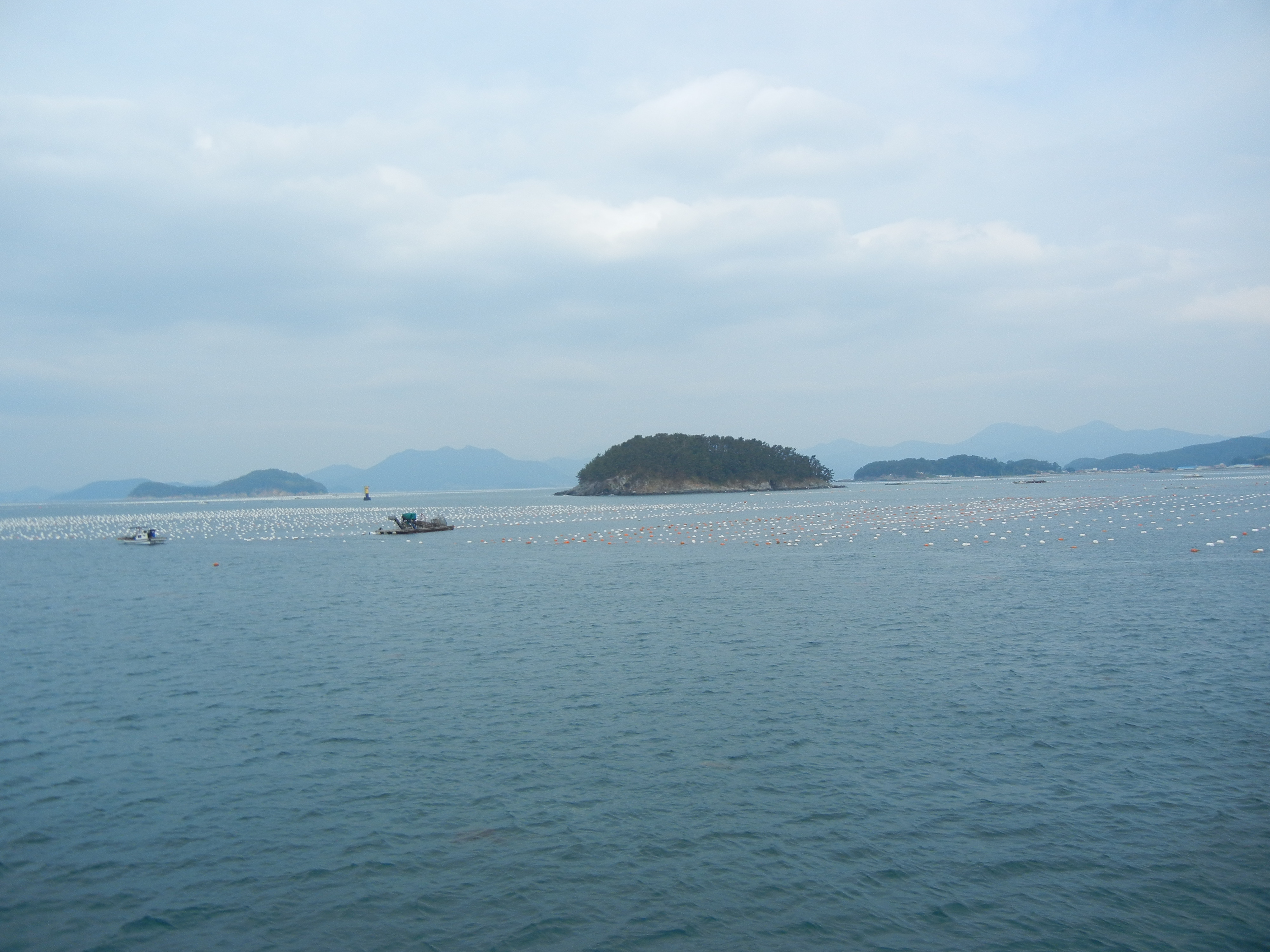
Back on the boat Visna (our local guide) was cooking our BBQ barracuda/chicken which was interesting because it was a fire on our tiny boat. We saw lots of fishermen including ones looking for scallops or ones looking or clams and some diving birds. No dolphins though.

SE Asia 1670

Then we stopped at Thomor Tom beach dolphin station for lunch where the park rangers cooked (reheated) and were super nice. The barracuda was delicious. Coke in a glass bottle too. Beautiful looking beach but the smell was terrible once we go there probably because of the bathroom.

SE Asia 1678

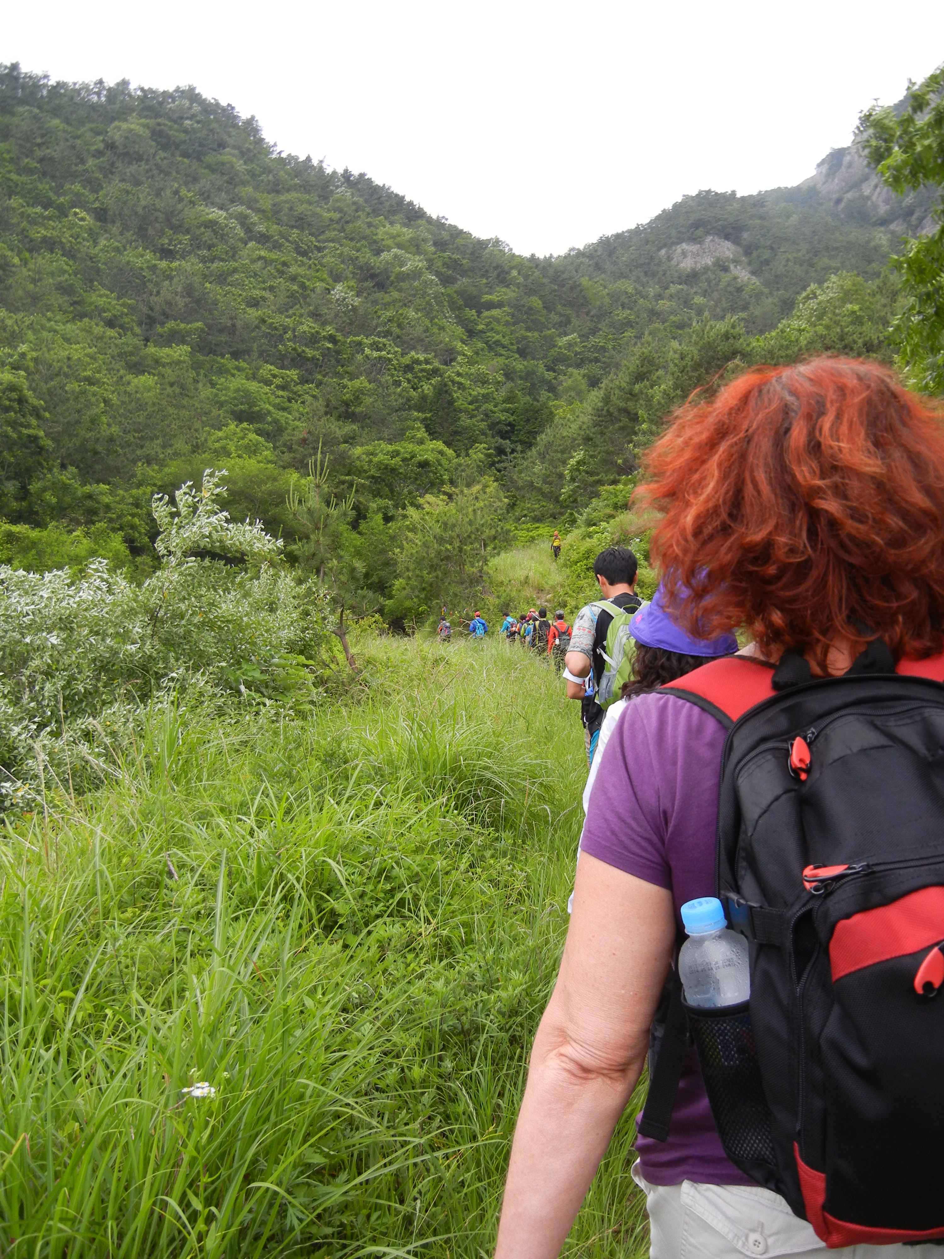
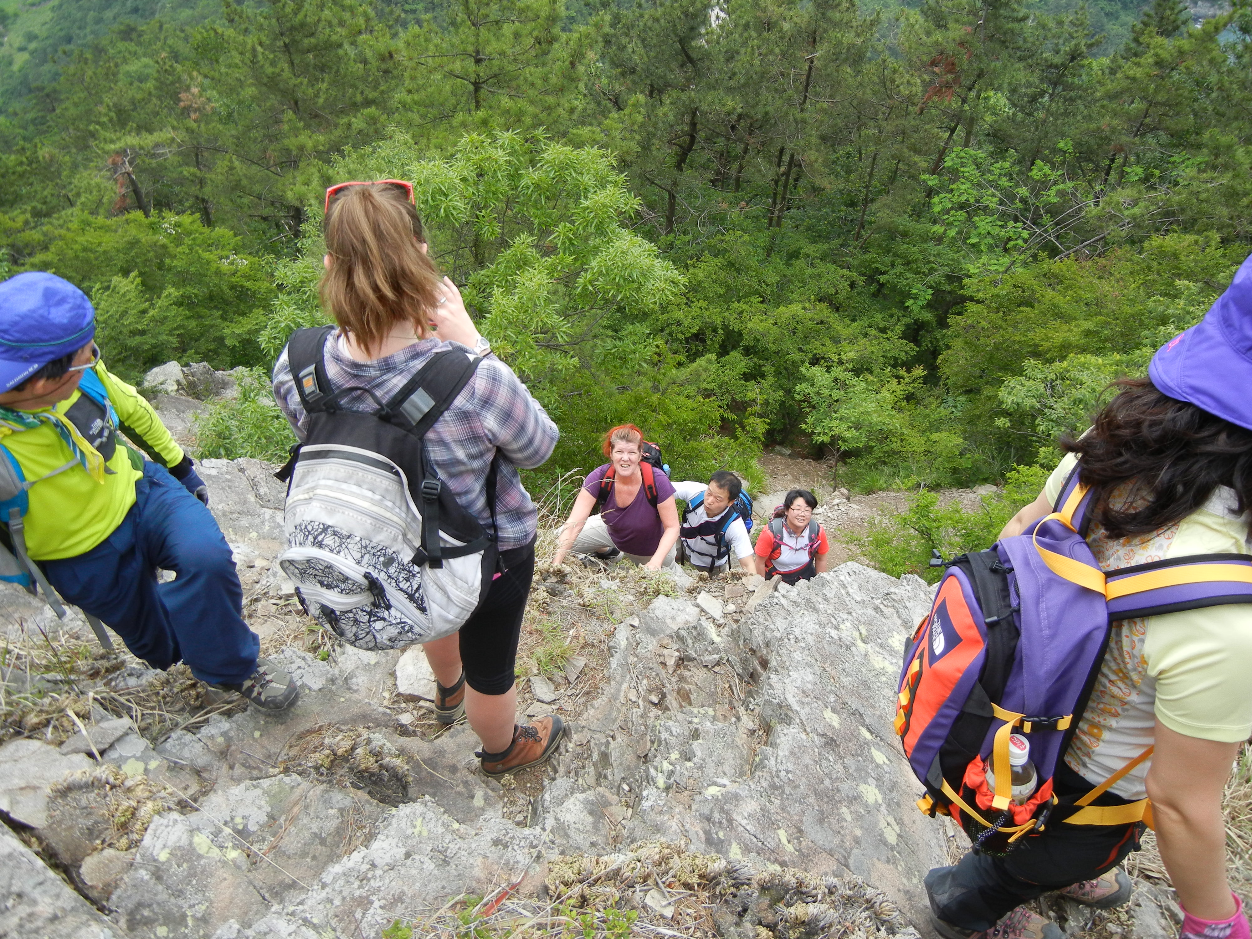
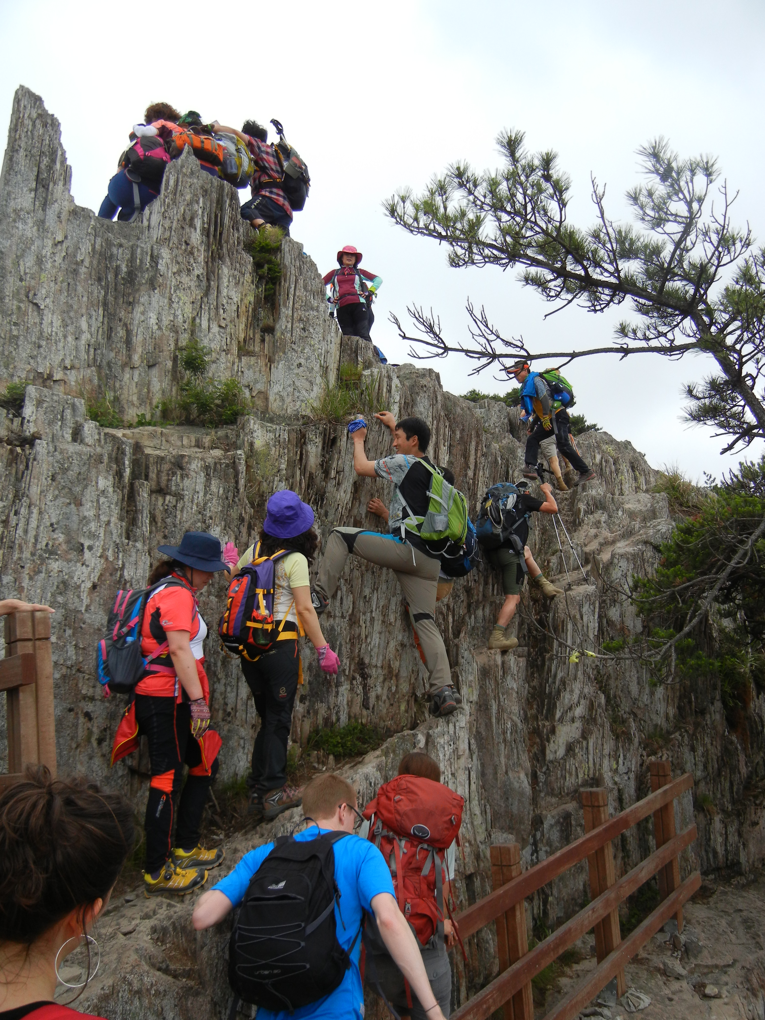
From here we hiked to what is now Chinese beach but was Koh Sam Pouch beach (because of Chinese development even though it is a national park). We saw lots of water buffalo who made funny faces, a mother chicken and her babies, a huge pig (well, a few) and some colorful plants. It was raining and muddy the whole day, but that didn’t stop us!

SE Asia 1685

The beach was pretty nice and there were waves and pretty shells. Also a very long pier and a swing for fun pictures.  We were here about an hour.

SE Asia 1696 SE Asia 1701


Next we drove to Kbal Chay Waterfall. One was massive! So many levels of the fall as well. A smaller one met up with it and this was less powerful so we got some pictures in it. Very slippery in the area because of moss on rocks underwater. We then walked a bit to a pool to swim in that lead to the small waterfall. It was cold and clear but didn’t look clear because of the rocks at the bottom. Such a strong current that when I did the breast stroke I didn’t move.

SE Asia 1715

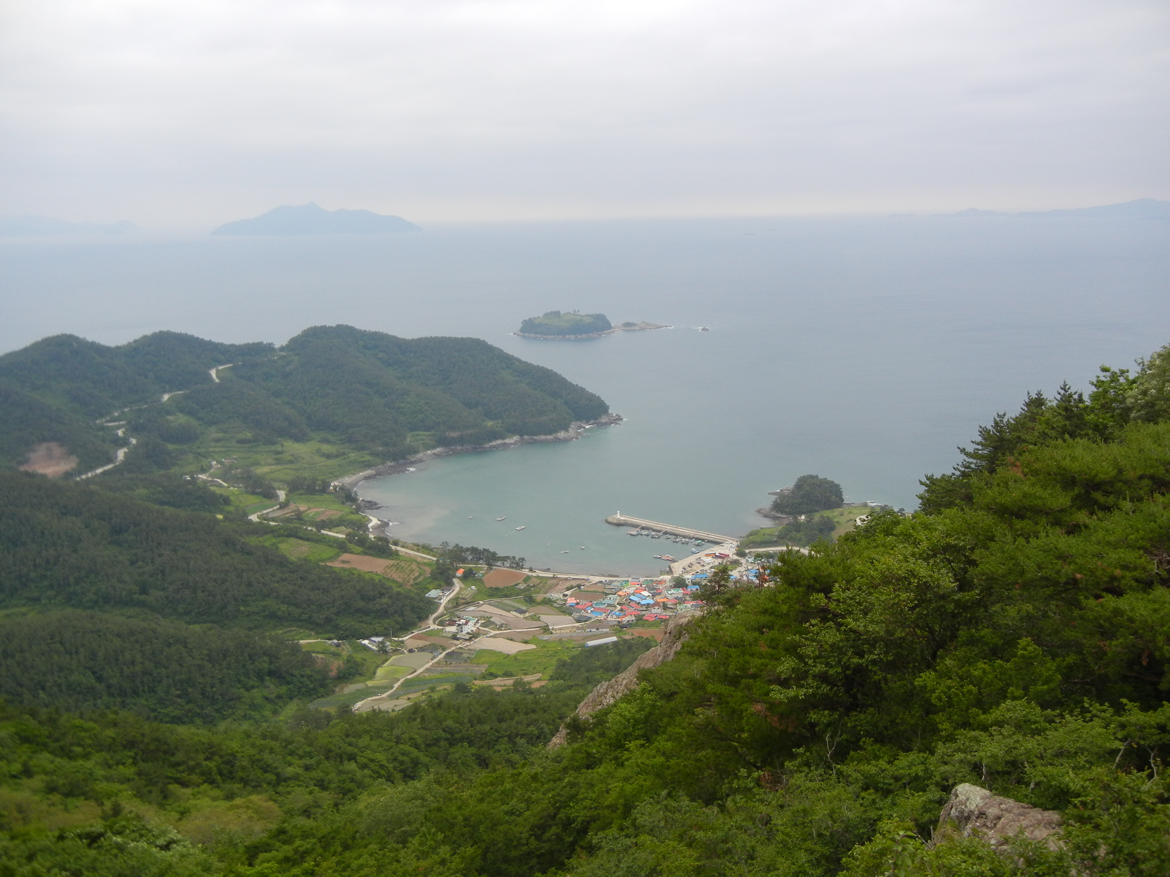
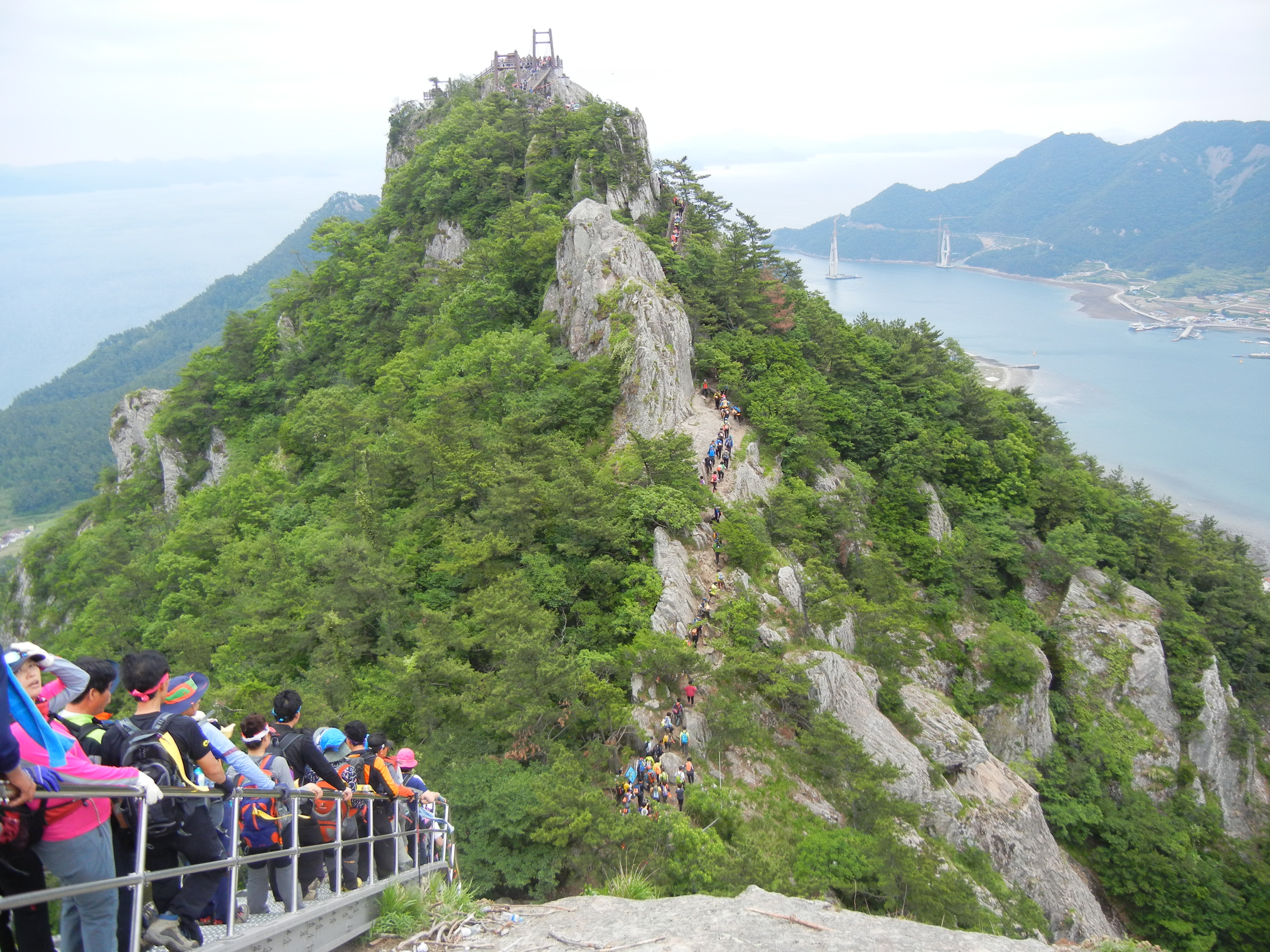
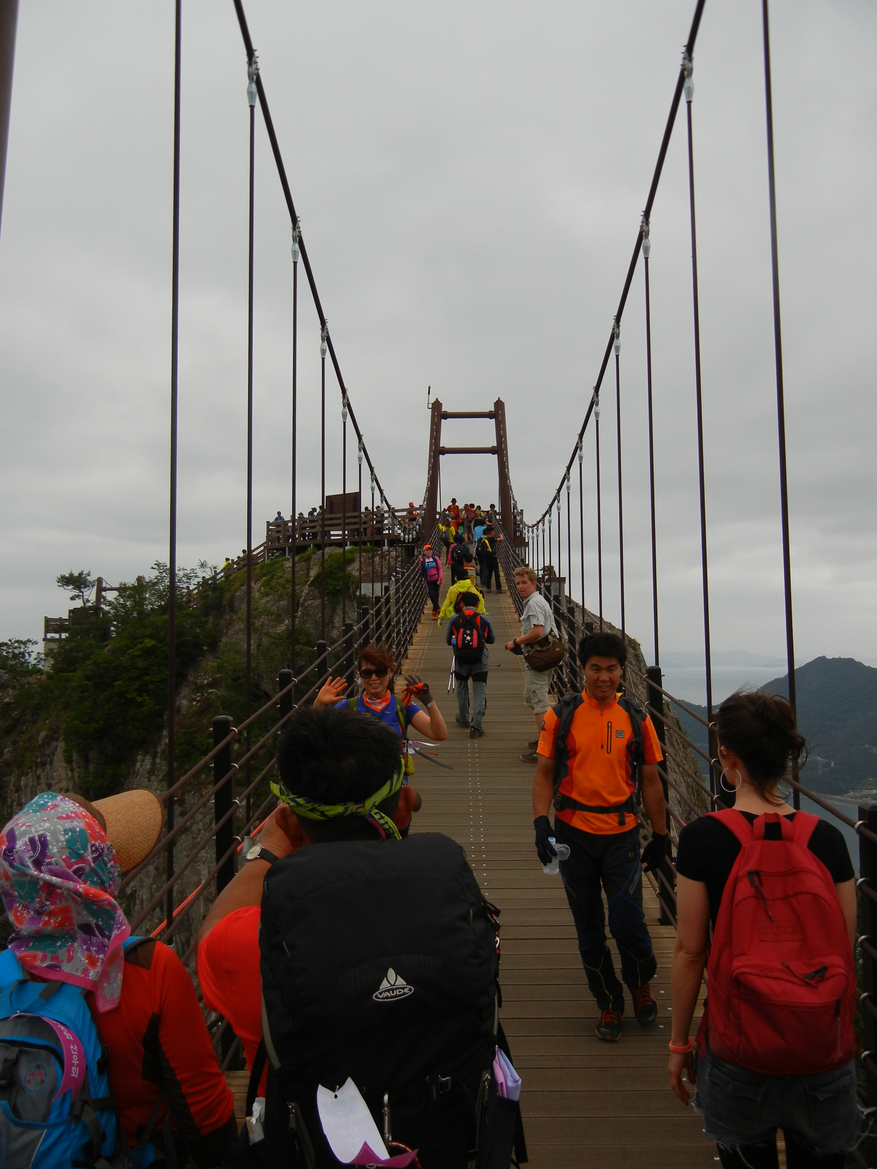
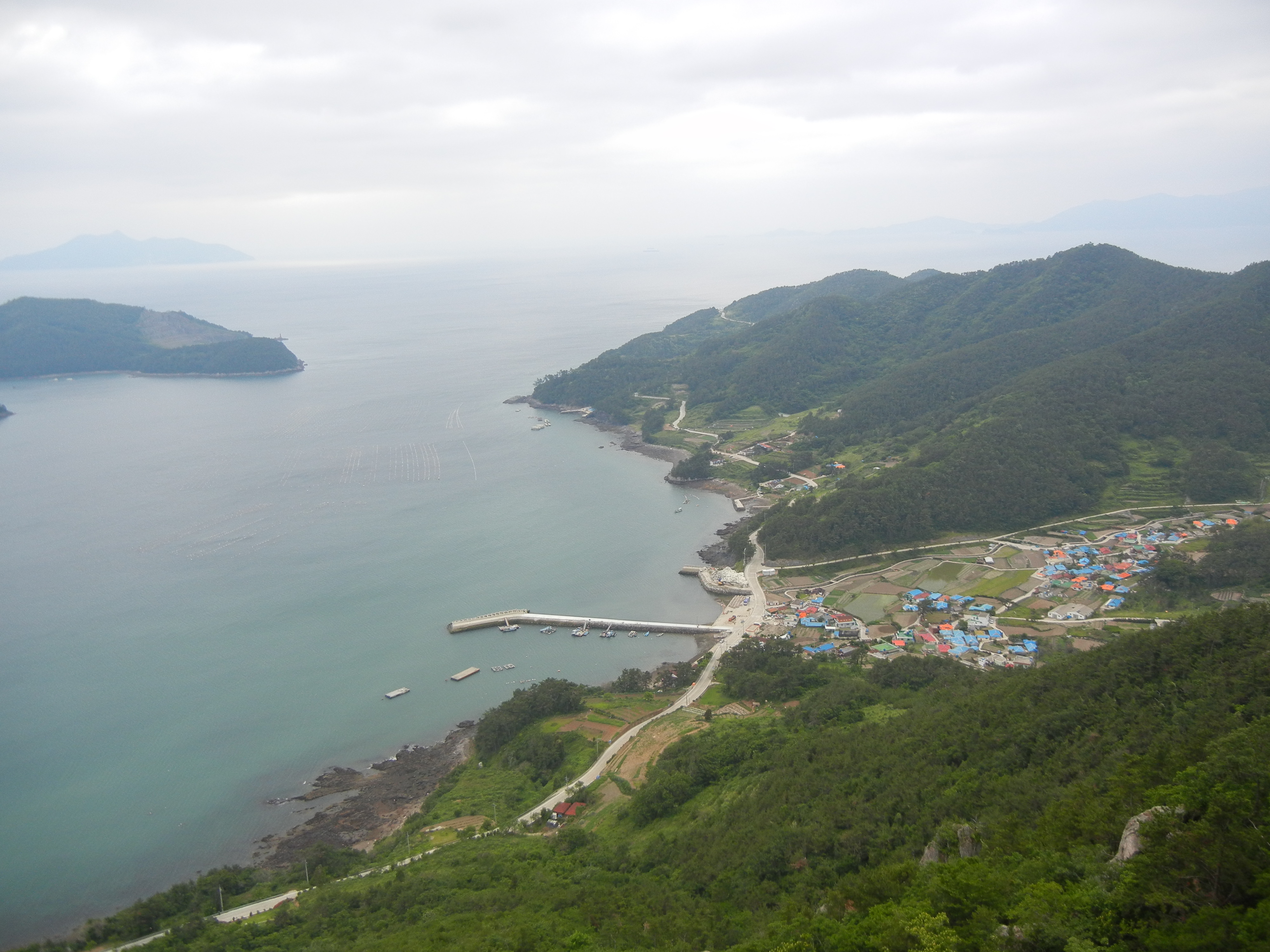
Back into the van to go to Wat Leo Temple which is famous for monkeys. The temple itself was beautiful and had lots of decorations up. Sit, Visna and the bus driver made strange sounds and called the monkeys over for us to feed them and take photos. We then went to a lookout at the temple which, again, would be better on a clear day. Still great. Van back to the hotel.

SE Asia 1744

I sent postcards this morning for 3,000 each. Europe and Asia should have been cheaper but I’m not bother by 200 for the 3 that didn’t go to the Americas.

Dinner at the same place (Angkor Beach Bar) and I got veggie curry for $3 and fresh lime juice for $1 when it should have been $1.25. Woop. Leaving at 7 tomorrow for Vietnam.

This weekend I did a hike from Jangsan subway to Songjeong Beach to Haedong Yonggungsa Water Temple.

We started to follow these directions to Songjeong and these to Haedong Yonggungsa Water Temple but the Koreans with us kept asking people along the way and then changed course multiple times….so below is what we actually did.

From exit 1of Jangsan, turn right for a bit (past what I think was a school because it had tons of kids toys out front) and then left at the big intersection and follow that until you are at the top of a hill. This will all be though apartment complexes.

From the top of the hill turn left and go uphill on the wooden path next to the road. We got to the top of that and were told we had to go back because it is ‘too dangerous’ to go down the way I wanted. This was from Koreans, and most of us agreed that it probably was not dangerous at all (in a country where you’re not allowed to go in the ocean more than 20 feet and have to wear a life vest at water parks, something being ‘dangerous’ could be exaggerated) but some people were wearing flip-flops and the Koreans with us didn’t want to go that way.

HIke to Temple 001

Here we went back to the start of the wooden path and went down some steps and followed the road, veering left and following the road past some seafood restaurants until it ended and we climbed over some rocks to get to a railroad we had to walk next to for a bit. A train came which was pretty scary (and hot) and we saw a sign later saying there is a 10,000,000 won fine for walking there (although at the place we started it was obvious that many people did this and the sign there just said ‘danger, keep a look out and don’t walk on the tracks’).

HIke to Temple 011 HIke to Temple 016

When we could, we stopped walking next to the tracks and followed another road along the coast until we got to Songjeong Beach.

HIke to Temple 026We hung out here for a bit and listened to funny announcements, such as ones telling us that this beach is for relaxing, and no ball playing is allowed or another one saying that if you take your pet into the water it will confuse other people so don’t do it.

From the other end of the beach walk left (if you go right you will go around a little island) and walk along the street until you get to a CU. We went behind it and downhill to another fishing village and kept going as straight as we could. At one point the paved road ends and becomes a dirt road, then there are some pipes we thought were for sewage which you have to jump over and walk along a very dirty beach. After that you go into a wooded area which has the trail. I wanted to keep going past the CU and turn in when the wooded area started, so if you want to skip the fishing villages and jumping over a sewage line you can try that.

HIke to Temple 034

From here we went around the coast and saw a few military buildings and a look out point.

HIke to Temple 058 HIke to Temple 070 HIke to Temple 073

To get to the temple we had to wiggle under a gate. I’m sure there was a way to not have to do this as we saw some people coming from that way and signs inside saying to go a different way than the one we came, but oh well.

Second time going to this park, thought I’d end up at the same entrance as before, but nope! Not sure how the bus schedule works out here, but we took the same bus and ended up at at the Naejangsan National Park Office and not the Naejangsan National Park Southern Office.

We left Sunday morning on the first bus (8:15) from Gwangju, getting in around 9:15. From the town we walked to the Park Office and paid 3,000 to go in. From there, to the Information Center, past Woohwaejeong Lake, the Cable Car and then the Wooden gate, or Iljmun. From there we went to the Temple of Naejangsa, and up to Wonjeokam and up further to Bulchulbong which is 622 meters. Next was up to Manghaebong (679 meters), down to Yeonjibong (670 meters), up to Kkachibong (717 meters) and then down though Geumseong Valley back to Naejangsa. See below for the map, we followed the purple line.

Hiking Course 2The buses leave from near the National Park Office (10 minutes away) at 9:40, 12:00, and 4:15.

From the Park to the Naejangsa you will be walking under trees like below and past Woohwajeong Lake which has a pagoda.

Some food, Gwangju, Naesangjan, and more food 190 Some food, Gwangju, Naesangjan, and more food 197

The Wooden Gate, or Iljumun, is below and is 10 minutes before Naejangsa temple.

Some food, Gwangju, Naesangjan, and more food 209Naejangsa Temple has a 3 story pagoda and many lanternsSome food, Gwangju, Naesangjan, and more food 228 Some food, Gwangju, Naesangjan, and more food 231 Some food, Gwangju, Naesangjan, and more food 234The next temple, Wonjeokam, was up quite high and had a view, half golden painted Buddha, and a dog!

Some food, Gwangju, Naesangjan, and more food 243 Some food, Gwangju, Naesangjan, and more food 247From there, it took 30 minutes to go .8 kilometers, which should give you a hint as to how difficult it was! Basically stairs the whole way.

Some food, Gwangju, Naesangjan, and more food 252 Some food, Gwangju, Naesangjan, and more food 254 Some food, Gwangju, Naesangjan, and more food 257 The next peaks were 678 meters and 670 meters. Finally, the highest was 717.

Some food, Gwangju, Naesangjan, and more food 280 Some food, Gwangju, Naesangjan, and more food 281The way back was mostly following a river.

Seongsan ‘Sunrise’

While we were on Jejudo (Jeju Island) it was cloudy nearly the whole time, and that included the morning of Sunday, when we wanted to go to Seongsan Ilchulbong, or the sunrise peak. At times you could not even see the mountain, and I wasn’t too upset because all the pictures that you see of it are with beautiful skies so this gives a different perspective.

You can take the bus that says Ilju Road East Direction (Road Number 1132) to ‘Seongsan (Ilchulbong)’ as it says on the map or ‘Seongsan Office’ as it says over the bus speakers and at the bus stop. This will take 90 minutes from Terminal and cost 3,000 won.

Jeju 370

The bus goes along the coast so I was able to take some nice pictures there as well.

Jeju 177 Jeju 186

Once arriving at Seongsan Office we were a bit concerned as it might have been better to get off at the next stop–Seongsan Entrance–so we walked there and then left to the ‘beach’. There is great view of Seongsan from here, and it is where people who want to go scuba diving can leave from.

Jeju 195

From there we walked toward Seongsan and to Dongamsa Temple, which is right in front. At this time I thought it would be great to get a picture with the sign and mountain in the background but went to the bathroom first…to come back to no mountain! The clouds had come in in those 5 minutes and the mountain was hidden. We waited 10 minutes and it came out again though.

Jeju 203 Jeju 217 Jeju 218 Jeju 220

Walking further past Seongsan you get to the entrance where you have to pay 2,000 won to go in. We didn’t want to go up because our legs hurt from hiking Hallasan the day before, there were a million people and it was beyond humid to the point where you just felt sticky. Plus with all the clouds you would not be able to see out. However the sign said it would take 50 minutes return to go to the top and back. There is another observatory to the left of the mountain that allows for great pictures of both the mountains and famous female divers. They are ‘grandmas’ who dive to the bottom without masks to get shellfish for the local restaurants. They put on shows at 1:30pm and 3:00pm.

Jeju 232 Jeju 235 Jeju 241

From there we took the bus to the Lava Caves, bus stop Manjanggul (ManJang Cave) which takes 40 minutes and costs 1,000 won.

This weekend I went to Jejudo (Jeju Island)! It’s a special part of Korea that has 7 UNESCO sites and is considered a honeymoon spot as well as an adventure area.

Hallasan is the highest mountain in Korea (and one of the sites). It is easier to climb than the 2nd and 3rd highest peaks because it is a volcano, and thus not as steep. Only two paths go up to the top: Seongpanak (the way we went up) and Gwaneumsa (the way we went down). You have to get to certain points by certain times, depending on the sunlight. For Seongpanak, you have to get to Jindalrae Office by 12pm in November-February, 12:30pm in March, April, September, October, and 1pm from May though August. This Office takes 3 hours to get to from the start, according to maps. For Gwaneumsa, you have to get to Samgakbong Shelter by the same times as Jindalrea Office on the Seongpanak trail, but I’m not sure how long that takes to go up–I believe it is longer as I read that it was harder.

From the Airport, you can take the 100 bus to Terminal for 1,000 won, then the 5.16 Road bus to Seong-panak for 1,500 won. The Jeju book says that you can take a bus to Gwaneumsa, but at the Airport they said you could not. Also there was none when we came down and we took a taxi to town for 15,000 won (should be about 20,000 won to the airport, or from the airport if you want to start on this hike). See below for the bus times from terminal.

Jeju 371

We arrived at the start of the park at 10:30 (should get there at 10:00 to start) to a ticket lady who was telling us we had to rush…but she kept talking and talking…anyway, you will go past Sara shelter, a detour (which takes 40 minutes return that we did not have) called SaraOreum Observatory, and then Jindalrae Shelter. We made it though! with 6 minutes to spare before 1:00! Myself and everyone who had just gotten there before us or arrived after were very excited but when I gave a thumbs up to the guy in the box with the loudspeaker he just seemed bored…so be warned of him!

Jeju 030 Jeju 058

From Jindalrea Shelter it should take 1 hour and 30 minutes to get to the top of the volcano/mountain. It is mostly wooden stairs. The view on the way up isn’t amazing…compared to whats on the other side!

Jeju 066 Jeju 072 Jeju 078Jeju 086 Jeju 090 Jeju 095

You ‘have’ to leave the top by 2:30 to be sure to make it to the bottom before dark but I didn’t see anyone enforcing that rule (again, a guy in a box with a loudspeaker).

The walk down via Gwaneumsa was beautiful. There were more places to stop and a bridge that looked a lot like the one we went over for the Jagged Ridge Hike. There was also a warning for falling rocks so be careful! Also some cooled lava to walk over, and an old cave for storing ice. The last 1 hour and 30 minutes of this trail is a nature walk, so there are a lot of information signs about wildlife and vegetation which was pretty interesting. Jeju 121 Jeju 134 Jeju 138Jeju 158 Jeju 162

From here, as stated above, we took a taxi to town for dinner, as the only restaurant at the bottom was closed.

Jagged Ridge Hike

Busan Haps posted an article about the Jagged Ridge Hike, making it sound much easier to get there than it actually is.

You can take a bus from Sasang to Goseong or Tongyeong and catch a boat from there. I’m not sure the times so you will need to have a Korean speaker call the port you want to go to. They leave more often from Goseong than Tongyeong and Goseong is quicker. From either bus station you will need to take a taxi to the port. If you have a large group, like we did, you can hire a bus to take you direct to the port. It was 350,000 won and split with 16 people it worked out cheaper than buses and taxis (we think, including convenience).

The boat from Goseong has a cute whale on the side! At least some of them do, our return one didn’t.

Fringe Festival, Sandcaste Festival, Blue Eagles, Sarado Hike 202From the boat ride, we saw a lot of fishermen. They set up the buoys with ropes on them to grow clams and the bigger fish come by to try to eat them so fishermen set up shop around the buoys trying to catch them.

Fringe Festival, Sandcaste Festival, Blue Eagles, Sarado Hike 221

Below is our route. We had our bus come over on the boat with us and it drove us along the pink route and we hiked the orange route.

Fringe Festival, Sandcaste Festival, Blue Eagles, Sarado Hike 227aBelow are photos of the hike with some descriptions under them.

Fringe Festival, Sandcaste Festival, Blue Eagles, Sarado Hike 234

Rice fields a plenty here

Fringe Festival, Sandcaste Festival, Blue Eagles, Sarado Hike 235

Too many hikers!Fringe Festival, Sandcaste Festival, Blue Eagles, Sarado Hike 243

Lots of rock formations. Mostly in prayer towers, but there were some cute house like things built.Fringe Festival, Sandcaste Festival, Blue Eagles, Sarado Hike 245 Fringe Festival, Sandcaste Festival, Blue Eagles, Sarado Hike 248

So steep to climb up! We felt like mountain goats.Fringe Festival, Sandcaste Festival, Blue Eagles, Sarado Hike 262

Another shot of what we climbed up. If you go to the right you can go around it.Fringe Festival, Sandcaste Festival, Blue Eagles, Sarado Hike 283

Hope I don’t fall! So steep here we can’t climb up but there are lots of places to sitFringe Festival, Sandcaste Festival, Blue Eagles, Sarado Hike 284

Poor tree!Fringe Festival, Sandcaste Festival, Blue Eagles, Sarado Hike 285

We went around this little village.Fringe Festival, Sandcaste Festival, Blue Eagles, Sarado Hike 291

Lots of ups and downs.Fringe Festival, Sandcaste Festival, Blue Eagles, Sarado Hike 298

This guy sold us makgeolli and did a little show with his drum and symbol.Fringe Festival, Sandcaste Festival, Blue Eagles, Sarado Hike 311 Don’t lean on the bridge, but you can set fire to it. Fringe Festival, Sandcaste Festival, Blue Eagles, Sarado Hike 325

Traffic jam! This and the bridge are new which has lead to a lot more people doing the hike. Many people seemed to be scared to use the steps!Fringe Festival, Sandcaste Festival, Blue Eagles, Sarado Hike 328

The new bridge! They had to use the ropes to pull it up.Fringe Festival, Sandcaste Festival, Blue Eagles, Sarado Hike 329

A bit bouncy.Fringe Festival, Sandcaste Festival, Blue Eagles, Sarado Hike 336The final view of the town, from the other side that we started from.

We finished just after the boat we were supposed to catch and were able to get one two hours later. In our extra time we had our bus go to the ‘beach’ which isn’t great but there were lots of seafood restaurants there as well. It is at another boat port and people RAN to get on it.

Fringe Festival, Sandcaste Festival, Blue Eagles, Sarado Hike 352 Fringe Festival, Sandcaste Festival, Blue Eagles, Sarado Hike 363

This past weekend I went to Seoraksan National Park via Sokcho with the Busan Daytrippers–from the name you can tell it’s not normally a weekend thing.

There didn’t seem to be much in Sokcho, but it is a port village so I’m sure the seafood is great. We saw a boat come in with the morning catch.

Sokcho and Seoraksan National Park 001

You can take a taxi to the park entrance for less than 15,000 won, or take a bus for 1,000 but the buses didn’t come on schedule so we decided to take the taxi and got a mini tour while doing it as the driver pointed out various mountain names and such. Entrance is 3,500 won. The park is beautiful.

Here’s a map of the hike we did (but starting from the National Park Office):

Hike Route

The first part (before the big turn) is called Dinosaur Ridge, then we stayed at Suryeomdong Shelter and went to the highest peak there, Daecheongbong, for sunrise at 5am. This is also the 3rd highest peak in South Korea.

Around the information shelter there is a giant Buddha.

Sokcho and Seoraksan National Park 021

Before hitting Dinosaur Ridge there is a river just begging to be jumped in.

Sokcho and Seoraksan National Park 083There were a couple temples along the way (labeled in English as caves as they have to be inside one), but after going up you have to go back the same way, so just keep that in mind. There was a lady working in there and we all wondered how she was sitting there not at all sweaty–but she must have gotten there ages before us and has time to cool off as it was almost cold inside.

Sokcho and Seoraksan National Park 112Here’s a good view of Dinosaur Ridge and shows you how it got it’s name. There were so many different types of trees along this part of the trail (and the park as a whole) I was amazed.

Sokcho and Seoraksan National Park 136We also saw a double rainbow! And the top one was a circle around the sun! I’m still confused by this because there hadn’t been rain for days!

Sokcho and Seoraksan National Park 150

From the temple (not marked on my map) to the shelter it is mostly downhill. We started the hike around 9am and ended up at the shelter around 6pm and went for a little swim in the river there to try and clean off the sweat.

From the shelter to the peak it is mostly uphill–as you can tell from the fact that one of the signs says part of the route is 1.1 kilometers but will take 1 hour to go up. We left the shelter at midnight and got to the peak for sunrise at 5am. Look at those clouds rolling in over the ocean!

Sokcho and Seoraksan National Park 195From there it was mostly downhill and covered by a forest.

Near the place we ended there are hot springs, but we decided to head on back instead of going in them, as most were headed to Seoul and wanted to go to the jimjjilbang (spa) there. From this exit you can take buses in may directions: Seoul, Sokcho, Hwacheon…To get to the bus stop and the ticket place you going straight out the exit and walk about 10 minutes to a shack to buy the tickets and across the street is the bus stop for Hwacheon and Seoul and on the same side is Sokcho. The ticket lady helped me flag the bus down, because you need to wave at it to make it stop.

This last weekend there was a hike scheduled to start in Children’s Park and go further to the mountains to the West.

I was a bit hungover due to no food the night before and no food in the morning (not smart, but I didn’t think about it and was in a rush both times).

Children’s Park is beautiful and I can’t wait to go back. It starts with a a strange square statue and then goes into a pond with massive fish and swans followed by ramps to make it easier to go up.

Childrens Park, Hike, Lanterns, and Breakdancing 003 Childrens Park, Hike, Lanterns, and Breakdancing 017At the top there was a temple. It’s all decked out for Buddhas Birthday on the 17th.

Childrens Park, Hike, Lanterns, and Breakdancing 026 Childrens Park, Hike, Lanterns, and Breakdancing 032 Childrens Park, Hike, Lanterns, and Breakdancing 043From the top (at least the top I got to) this was the view. I thought it was pretty great anyway.

Childrens Park, Hike, Lanterns, and Breakdancing 048 On the way up to this point, every step up made me want to throw up, and it was only getting worse. I decided to walk down on my own and find a way out. Adventure Time!

Childrens Park, Hike, Lanterns, and Breakdancing 050 Childrens Park, Hike, Lanterns, and Breakdancing 052 Childrens Park, Hike, Lanterns, and Breakdancing 056

Yeongdo Night Hike

The night after a full moon, April 26th, I went on a night hike with Busan Daytrippers. I was supposed to go on two before when I lived in Ireland, but they got rained or snowed out. It was tons of fun and I hope that we do another one here!

We went to Yeongdo (do meaning island) which is where I went before for the taejongdae. We didn’t go that far out, as there are mountains in the middle, called Grandma, Son, and Grandson and those are the ones we hiked.

We took bus to the lion temple.

Night Hike 002 Night Hike 004

We then walked along the beach to a mini Buddhist shrine and went up from there.

Night Hike 003 Night Hike 013 Night Hike 021

Never sit on Grandma! It’s a curse!

Night Hike 028

Son has a little building at the top.

Night Hike 034Night Hike 041

Grandson is where we saw the sunrise, but I think any would be fine for it.

Night Hike 057

When the sun did come up we got a good view of oryuk islands, or four or five islands.

Song-do Hike

This past weekend there was a hike in Busan to Song-do Beach. Taking a bus from Nampo out toward Song-do but stopping by a market and uphill street you can start going up toward the peak–which is just very steep but not too far.

Songdo Hike 003 Songdo Hike 011

There were lots of flowers starting to bloom.

Songdo Hike 018

After a few more ups and downs we ended up at a park that overlooks a big rock of an island. There are some rocks jutting out in other places with lots of colors.

Songdo Hike 037 Songdo Hike 040

Then, back the same way we came with a few changes to stay closer to the water and we were at the beach. There is a beach side walk that we could have taken back, but I went with the group that kept hiking. There are statues in the water of whales tales and dolphins–pretty odd, especially at low tide when you can see the change in color and rust on the dolphins.

Songdo Hike 050 Songdo Hike 052 Songdo Hike 053